
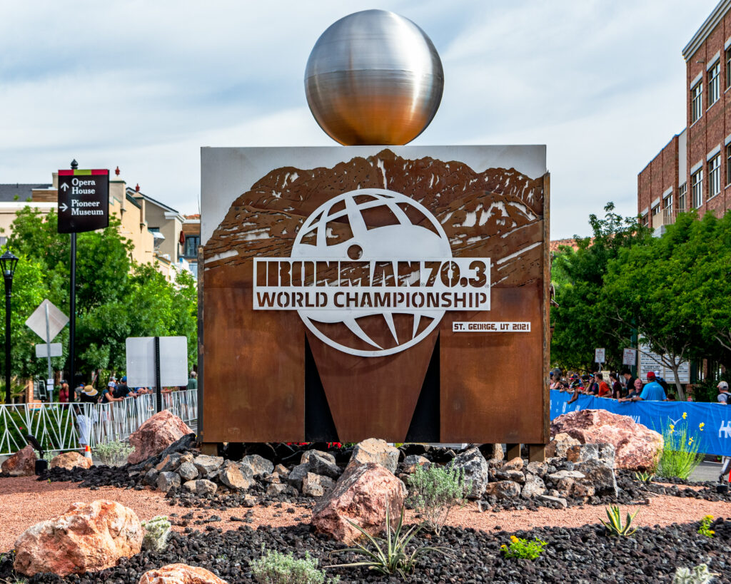
Course Overview
Overview of the Ironman 70.3 world championship course
The Land of Endurance™
The course for the 2025 Intermountain Health IRONMAN 70.3 North American Championship St. George covers 70.3 miles of spectacular desert terrain, two billion years in the making. The course showcases some of the most iconic landscapes in Greater Zion. The experience here will expose athletes to an environment of extremes. In a land sculpted by persistence and determination, proven champions will navigate a path through two iconic state parks, five enthusiastic communities, and a fragile desert reserve as they rise to conquer one of the most prestigious and striking events in the world. Welcome to the Land of Endurance.
SWIM
Swim – Sand Hollow State Park, Hurricane
Plunge Into a Desert Oasis
Sand Hollow Reservoir in Hurricane is one of most unique and scenic swim venues on the IRONMAN 70.3 circuit. Athletes start and finish the swim from the main boat ramp at Sand Hollow State Park. The crystal blue waters make ideal swim conditions for athletes. Sunrises here can be indescribable, and the desert scenery is unlike anywhere in the world. Spectators can line the transition area and the shoreline to watch the athletes enter and exit the water. Athletes will have a fast two-turn course to navigate their 1.2-mile swim. Athletes run from the ramp to where their bikes are mounted in a fenced transition area (T1) toward the north end of the parking lot, then walk their bike to the starting chute before mounting for the bike course.
BIKE
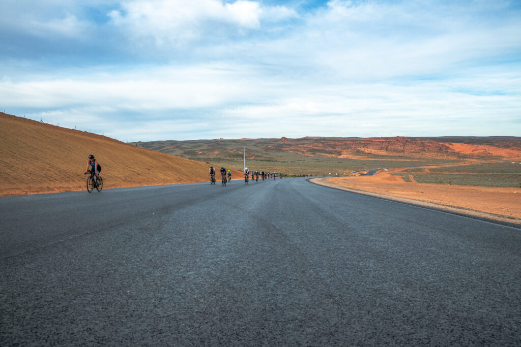
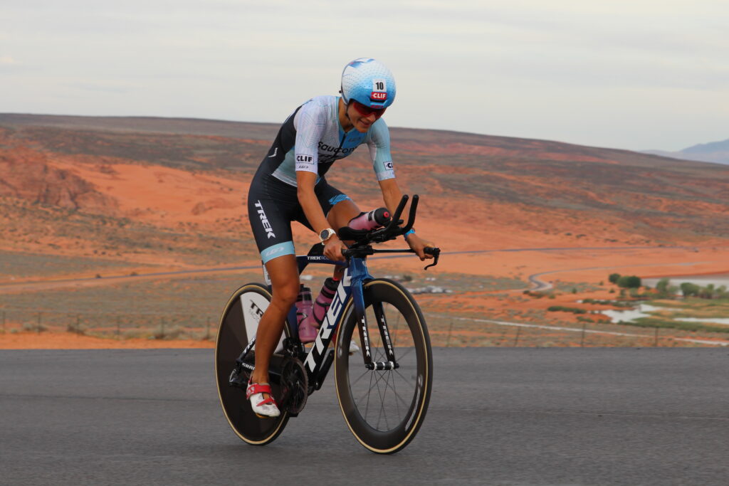
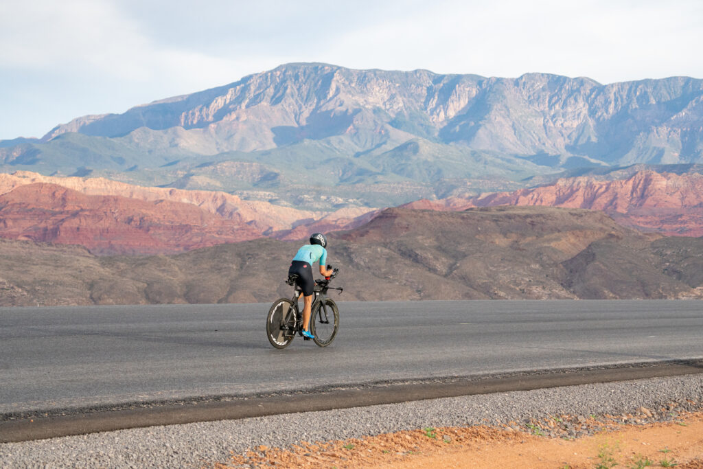
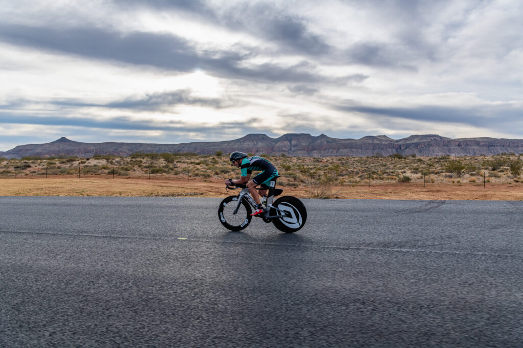
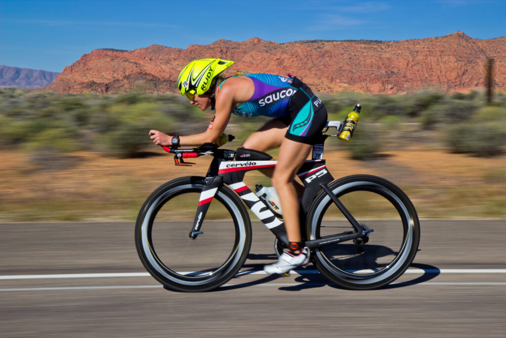
Bike Course – Hurricane, Washington, St. George, and Ivins
Ride Through Sand, Lava and Stone
Bike Start – Sand Hollow State Park, Hurricane
Athletes transition from the Swim to the Bike and begin the 56-mile ride in the parking lot of Sand Hollow State Park. Spectators can line the transition area and the beginning section of the bike course from the reservoir to the left-hand turn onto the south beach road. Athletes follow the road around to the south end of the reservoir where it cuts through a brilliant section of orange-sand beach before turning right onto a short, narrow section that takes them under State Route 7/ Southern Parkway (SR-7). Another right-hand turn leads cyclists up the off-ramp onto SR-7. The bikes will head southwest for about one mile on the contraflow (south) side of the closed highway before making a U-turn and heading back toward Hurricane City. Through this section, the black highway knifes its way through the dunes of Sand Mountain.
Nemesis Hill, Hurricane
The first climb starts about four miles into the bike course as the road rises away from the dunes. In this Mars-like environment, “Nemesis Hill” is a one-mile steep-grade that climbs 292 feet with grades ranging from 5.5% up to 9%. Nemesis peaks out at a summit with a brilliant view of the reservoir and sand dunes in the background, and the Hurricane Cliffs ahead to the east.
3000 South, Hurricane
The interchange at SR-7 and 3000 South is roughly 8.5 miles into the bike course. This area makes a great spectator location for Hurricane City residents.
Southern Parkway, Hurricane
This stretch of highway from Nemesis Hill to SR-9 provides beautiful 360-degree views showcasing the contrasting southwest terrain including Pine Valley Mountain, the Hurricane Cinder Knoll, and Zion National Park on the horizon.
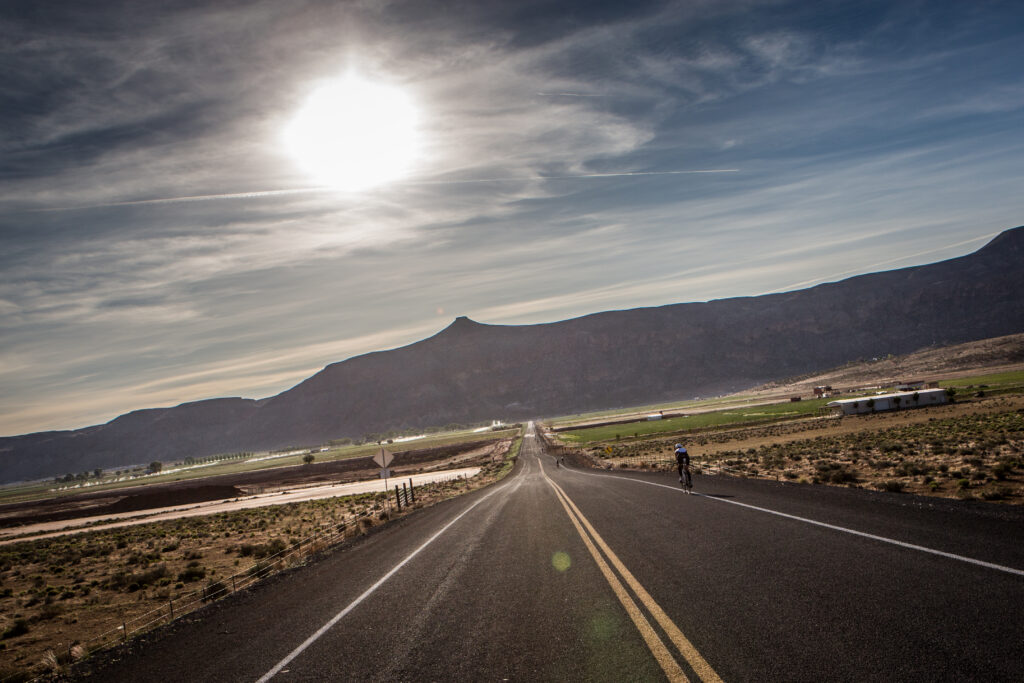
State Route 9, Hurricane
At the north end of the Southern Parkway/SR-7, athletes turn right to go down the on-ramp to State Route 9 (SR-9). At the bottom of the ramp cyclists make a U-turn to head west in the contraflow lane of SR-9. This major highway connects Hurricane to Interstate-15, Washington City, St. George, and other communities on the west, and Zion National Park to the east. Motorists are encouraged to avoid SR-9 during the race from 6:30 am to 12:30 p.m. Cyclists will ride west on SR-9 for 5.5 miles before turning left onto Telegraph Street in Washington City. The SR-9 section features a slight downhill for four miles before another steep two-mile climb up and over the Hurricane Fault, just past Quail Creek Reservoir. This is a CAT-5 climb, rising 300 feet at a 2.7-5% grade.
Telegraph Street, Washington
Approximately 18 miles into the course, cyclists turn left from SR-9 onto Telegraph Street in Washington. Telegraph Street was originally the route of a telegraph line used for communication in the late 1800s. It now serves as the main thoroughfare through Washington City. Telegraph runs along the spine of the Hurricane Fault with a short, steep climb to the top of Coral Canyon and a fast downhill into the heart of the community. There are no designated viewing locations on this section, but spectators in the area can gather near Razor Ridge Park, or near one of the entrances to Coral Canyon neighborhoods.

Washington Parkway, Washington
At approximately 22 miles into the race, athletes turn right onto a slow, sustained climb at Washington Parkway. This hill is a bit deceiving, especially as it steepens near the overpass at I-15. Cyclists continue on Washington Parkway toward Green Spring Drive. This beautiful stretch of road provides stunning views into the Red Cliffs Desert Reserve, framed by Pine Valley Mountain. At the top of the Parkway, the course turns left onto Green Spring Drive, heading through the scenic fairways of Green Spring Golf Course before turning right onto Red Hills Parkway. Informal viewing locations for nearby residents can be found along Washington Parkway and Green Spring Drive.
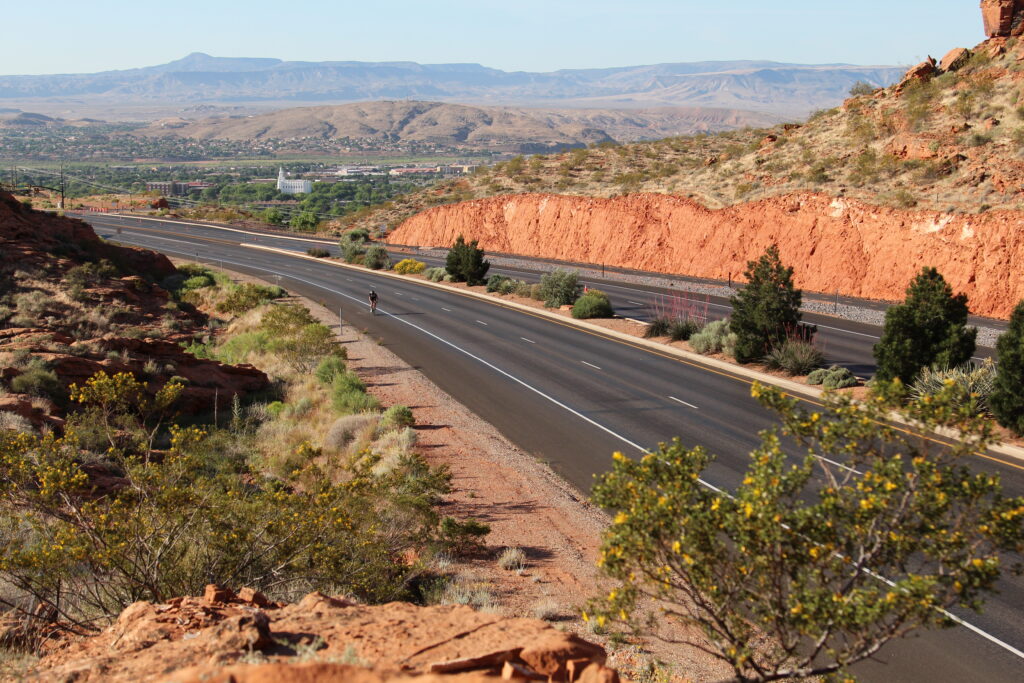
Red Hills Parkway, St. George
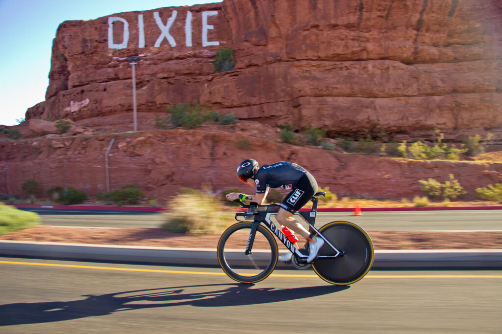
Once onto Red Hills Parkway, athletes enter St. George, the largest community in Greater Zion. The course takes cyclists to the top of the red bluff overlooking the city. Red Hills Parkway skirts along the edge of the Red Cliffs Desert Reserve, passing Pioneer Park and The Sugarloaf (“Dixie Rock”). During the race, this section of road is accessible only by foot via 200 East/Skyline Drive, or from 900 East, but it is an ideal viewing location for pedestrians who don’t mind walking up to the area.
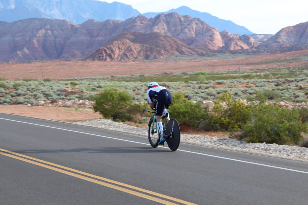
Snow Canyon Parkway, St. George, Santa Clara, Ivins
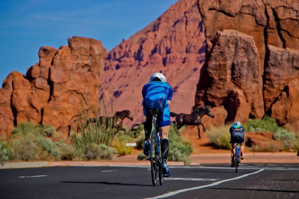
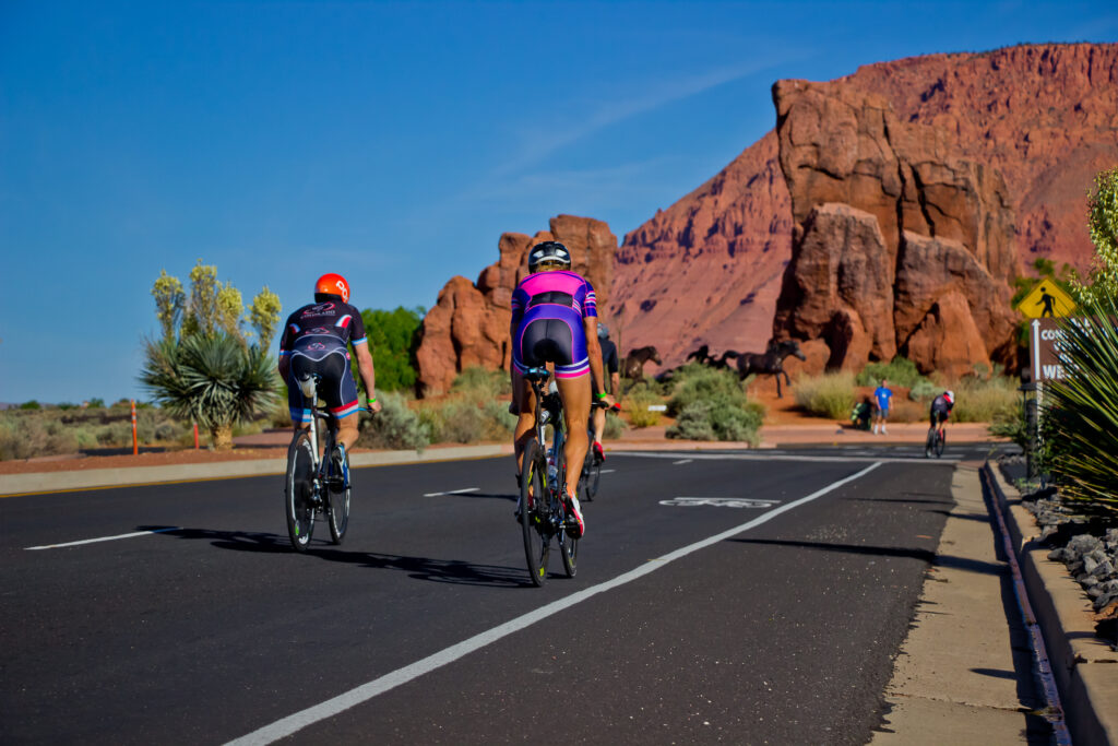
The scenery changes again at mile 33. Red Hills Parkway becomes Snow Canyon Parkway, a beautiful stretch of road leading to the iconic Red Mountain in Ivins. The street is lined by beautiful homes and vegetation nestled between ragged sandstone cliffs and an ancient basalt lava field similar to the iconic lava fields of Kona, Hawaii. Informal viewing locations for nearby residents can be found along the Parkway.
Ivins
At mile 37, the course turns onto Center Street in Ivins. Ivins is a beautiful city that borders a stunning range of red mountains. It is also home to Tuacahn, a remarkable outdoor theater showcasing Broadway-style shows, concerts and more. Athletes will ride on the south side of the road and continue through the city then proceed around the roundabout at 400 West Street as they travel back toward Snow Canyon on the north side of the road.
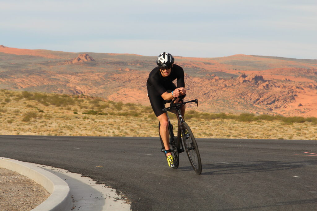
Snow Canyon Drive, Ivins
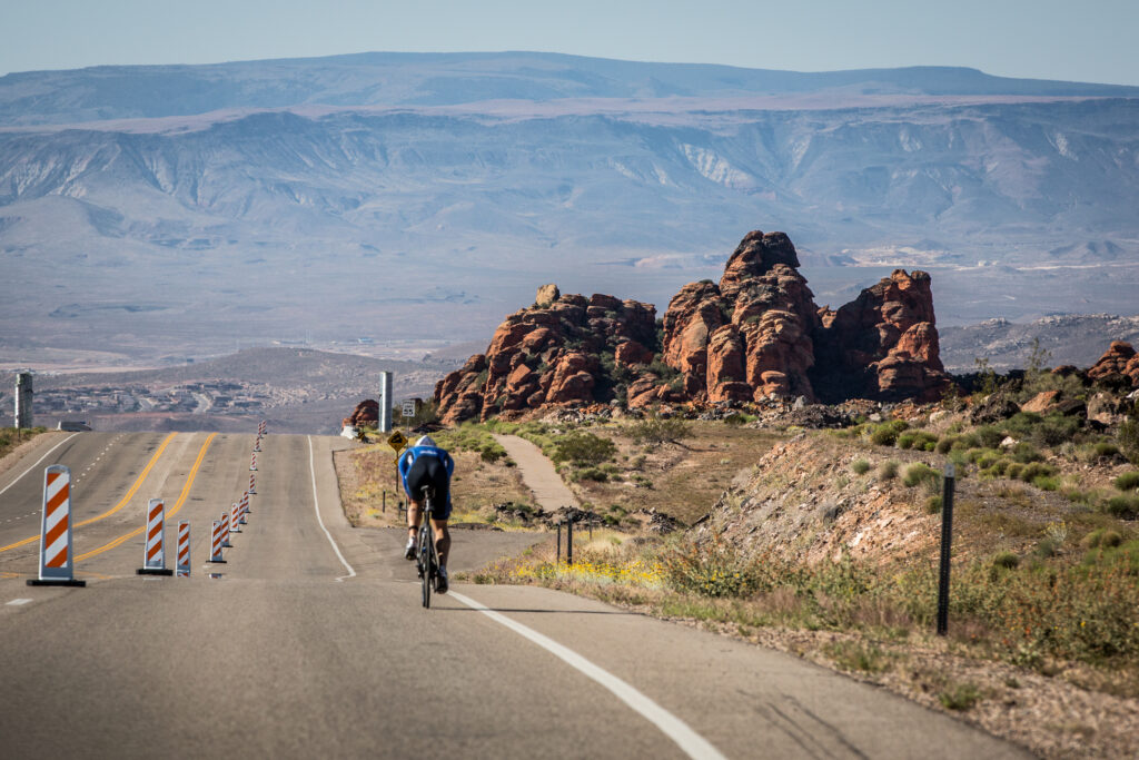
At mile 41, the course turns left onto Snow Canyon Drive to take athletes up the second signature climb on the course. The stunning five-mile climb through Snow Canyon State Park features more than 1,000 feet of elevation gain with grades ranging from 4-9%. It is rated as a CAT-2 climb. The road takes cyclists beneath dramatic red and white Navajo sandstone cliffs, towering ominously between menacing black ridges of ragged basalt. The extreme terrain of Snow Canyon was formed by tectonic uplift in a former age. The grueling climb with its striking backdrop is an endurance photographer’s dream location. It may be the most photographed section of a bike course in the IRONMAN world. Snow Canyon wasn’t named for the white flakes, but was named after Erastus and Lorenzo Snow, two early pioneer leaders in the area. It is the backdrop of several early western movies including Butch Cassidy and the Sundance Kid, The Electric Horseman and some early John Wayne films.
State Route 18 (SR18), St. George
After the intense climb up Snow Canyon, cyclists get another chance to stretch their legs on the steep descent back to town. The downhill section starts at Mile 46. One former Olympic medalist said she had two first-time experiences when testing out this course. She had never gone slower on a bike than her first time up Snow Canyon, and she had never gone faster on a bike than racing back to town on SR-18. The cyclists use the flyover to cross above Red Hills Parkway before continuing down Bluff Street to Diagonal Street. Motorists are encouraged to avoid SR-18 during race day from 9 a.m. to 3 p.m.
Downtown, St. George
Despite having pedaled more than 54 miles, athletes are flying as they make the left turn onto Diagonal Street on their way to Main Street and down toward Transition 2 (T2) on Tabernacle at Town Square. Spectators can line Diagonal and Main Streets to watch the bike finish and the run. Recommended locations include the roundabout at Main Street and Tabernacle Street, or anywhere along Main Street up to the Roundabout on 200 North and Diagonal Street.
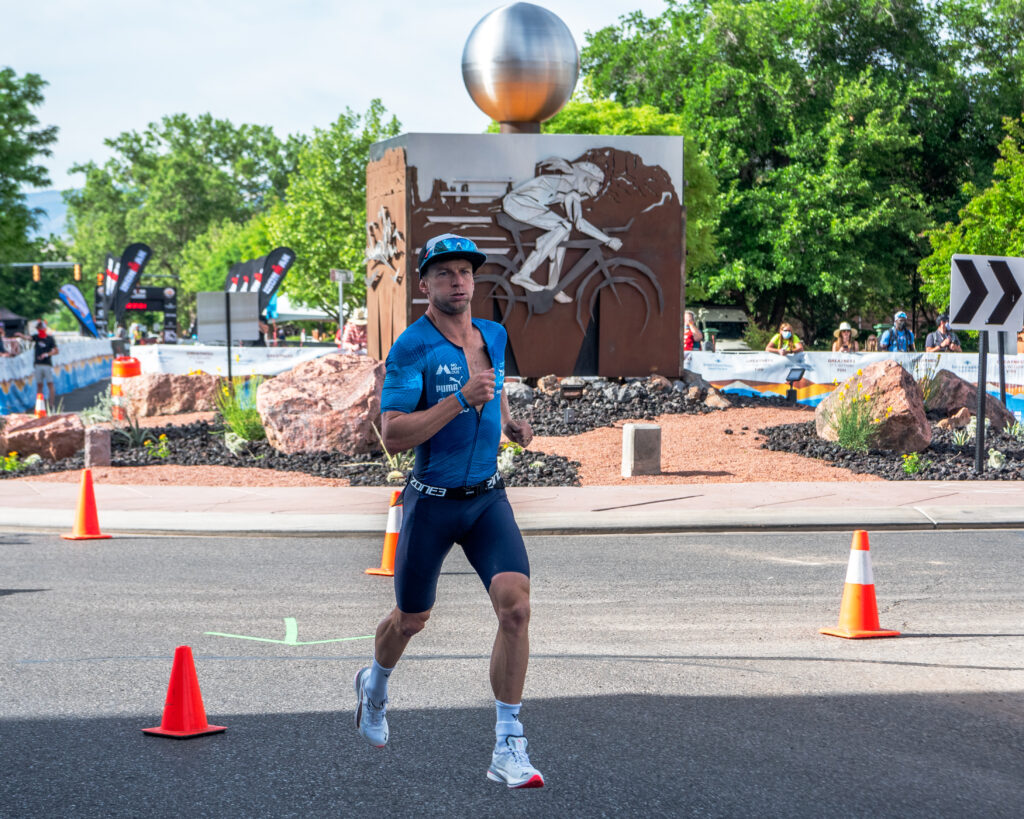
RUN
Run Among Towers of Stone
Downtown, St. George
After dropping their bikes off at T2 on Tabernacle Street, athletes head out on the two-loop, 13.1-mile run through town with a stint through Dixie Red Hills Golf Course. Runners turn at the roundabout at Tabernacle and head up Main Street for an immediate, steady uphill stretch that continues on Diagonal Street toward Bluff Street. It doesn’t look steep, but it is definitely up hill. Spectators along Main Street and Diagonal Street will see the bike finish and can watch athletes pass four times on the run. Recommended locations include the roundabout at Main and Tabernacle, or anywhere along Main Street up to the Roundabout on 200 North and Diagonal Street.
Rec Path and 1250 North Street, St. George
From Bluff, runners take to a recreational path near Bluff Street and maneuver through a tunnel before a loop and some quick out-and-backs. Runners then turn right onto 1250 North Street, where the climb gets even steeper before entering the Dixie Red Hills Golf Course.
Dixie Red Hills Golf Course, St. George
The loop through the golf course is one of the most scenic and interesting sections of the course. Dixie Red Hills was the first golf course in St. George and one of the early attractions that opened the area as a tourism destination. The tree-lined course weaves its way along stunning red cliffs that are now part of the Red Cliffs Desert Reserve. Runners will follow along the first five holes of the course before exiting onto 700 West at the Sandstone Quarry Trailhead/
Descent into Town, St. George
Runners turn left onto Diagonal Street for the two-mile descent into town. From Diagonal, athletes turn onto Main Street and head toward Town Square. At the Tabernacle on loop one, athletes turn left on Tabernacle and traveling two blocks east before a U-turn.
Loop Two, St. George
As they approach Main Street again, runners on loop one will circle the roundabout at Tabernacle to head back out on the second loop, following the same course as they did on loop one. Second loop runners will turn left at the roundabout to the Finish Line between Tabernacle and 100 South.