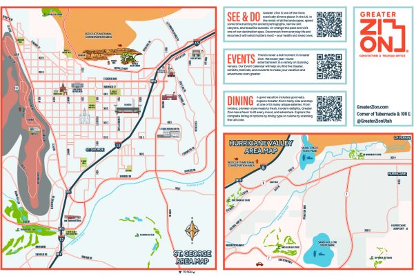
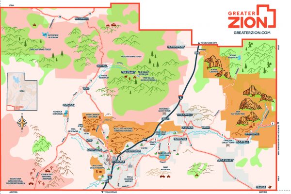
Local Area Maps
With Greater Zion boasting Zion National Park along with some of the most beautiful state parks and recreational areas in the country, the list of things to see and do within our 2,400 square miles of adventure can be intimidating, especially when you want to do it all. One minute your hiking the petrified dunes in Snow Canyon and the next your racing to Veyo just in time to grab a slice of heaven on earth from Veyo Pies. We get it, you’ve got to do what you’ve got to do to fit in all of the unimaginable experiences that Greater Zion has to offer. But before you take off too fast, check out the area maps below and get oriented with our area so that you can plan the most effective trip possible!
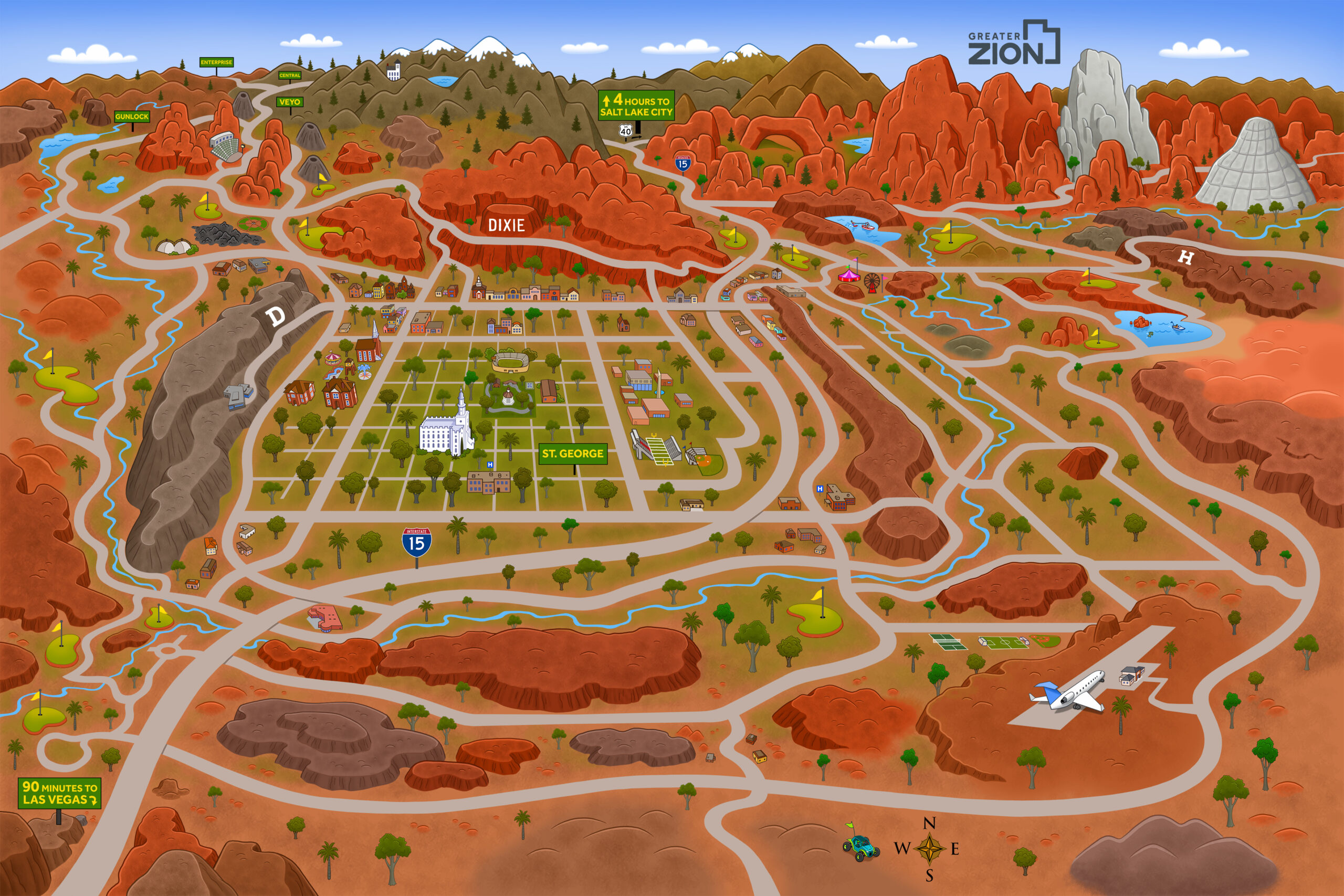
Greater Zion Area Map
Our Greater Zion Area Map gives visitors an info-graphic style view of our area and showcases the distances to major hubs such as Salt Lake City to the north and Las Vegas, Nevada to the southwest.
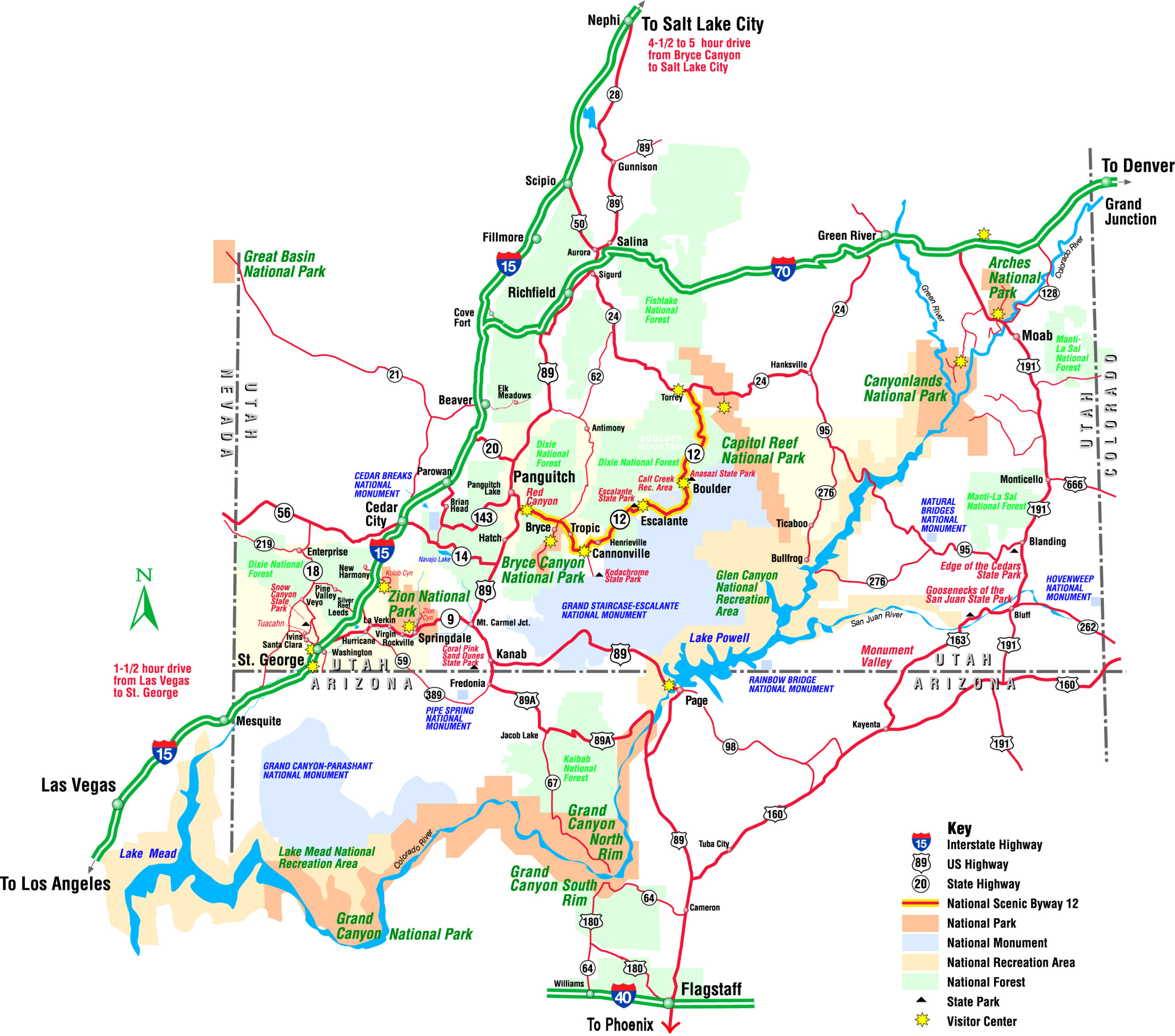
Greater Zion Extended Map
Our Greater Zion Extended Map provides a more basic route layout for visitors who are either driving into the area or are looking to plan a day trip to one or more of Utah's Mighty Five National Parks.
